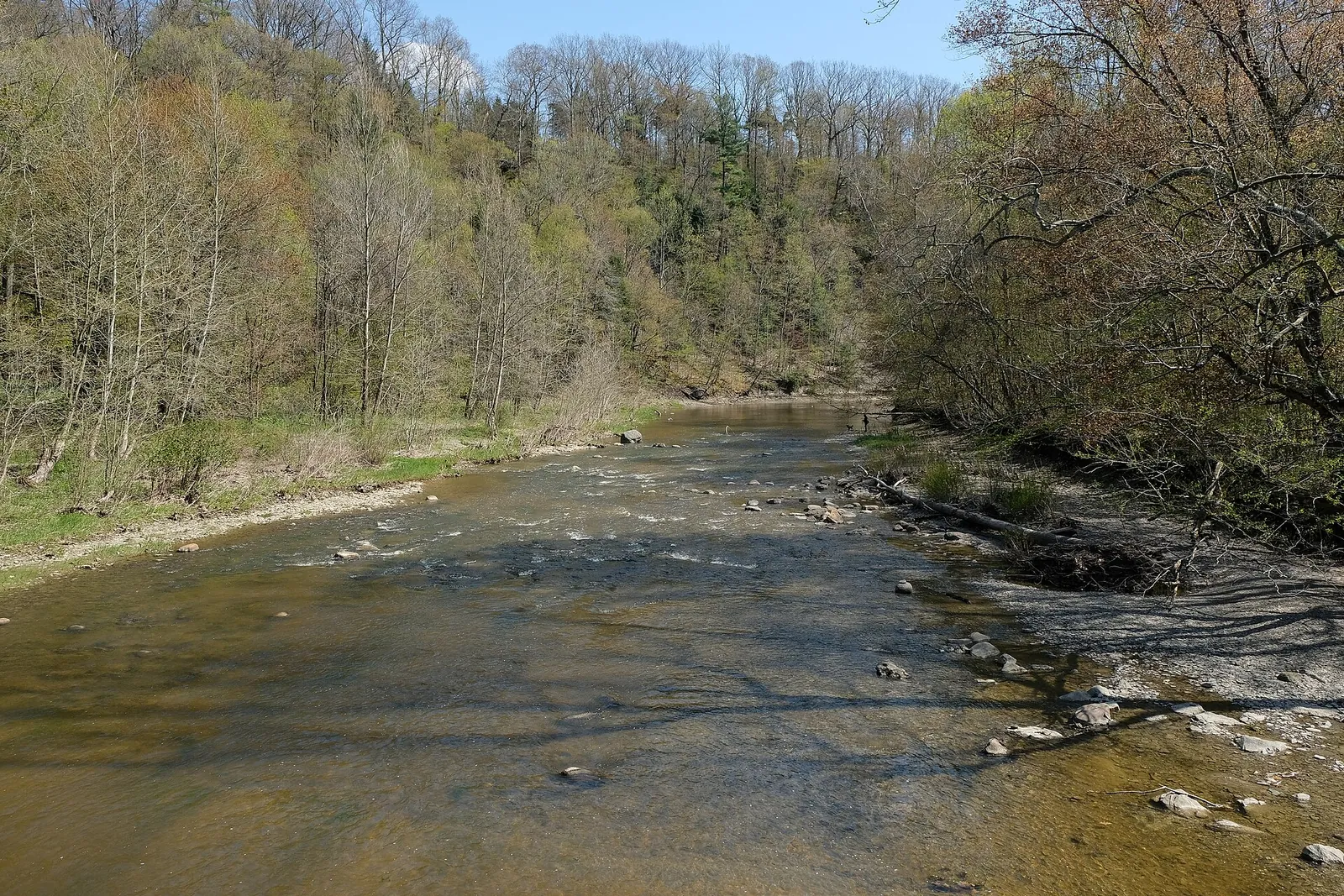
Ashtabula County is in the northeast corner of Ohio along Lake Erie, with Jefferson as the county seat. It is the largest Ohio county by area, with lakeshore towns, vineyards, farms, and wooded countryside inland.
Communities in the county include Ashtabula, Conneaut, Geneva, Andover, Orwell, Rock Creek and Windsor.
Land We Look At in Ashtabula County
Rural acreage and woodland
Wooded tracts inland from the lake suit hunters and rural homesite buyers.
Farm and pasture ground
Open fields across the county carry crops, hay and livestock.
Vineyard and orchard land
The Grand River Valley area is known for grapes and wine.
Local Notes
- Jefferson is the county seat.
- Ashtabula, Conneaut, Geneva, Andover and Orwell are other communities.
- Interstate 90, State Route 11 and U.S. 20 are the main routes.
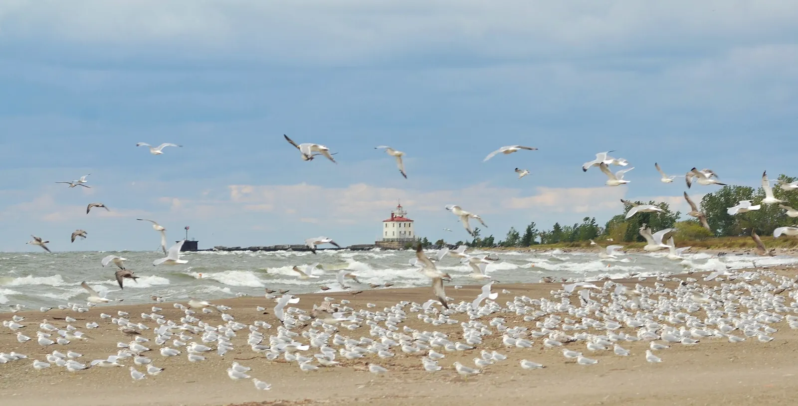
- The county is known for its covered bridges and for Lake Erie shoreline.
- Land uses include woodland, farms, vineyards and rural homesites.
Growth Areas
Interstate 90 and State Route 11 run through the county, with U.S. 20 and State Route 84 also serving the area. Development concentrates in the lakeshore towns, while the inland townships stay rural.
Terrain, Flood and Zoning Notes
Lake plain near Lake Erie is flat, and the land rises into rolling hills inland. The Grand River, Ashtabula River and Conneaut Creek cut ravines, and wet ground is common in places. Municipalities zone their own land, and township or county rules apply elsewhere.
General information only. Confirm zoning and flood status for a specific parcel with the county.
County Resources
Property records in Ohio come from two county offices: the county auditor, who handles assessments and the conveyance fee, and the county recorder, who records deeds. Both can be reached through the county offices in Jefferson. Closings are typically handled by a licensed title agent or attorney. These official sources can also help with parcel research:
- Ashtabula County government
- Ohio Department of Taxation (property tax and conveyance fee information)
- Ohio Revised Code (state law, including conveyance fee statutes)
- USDA Web Soil Survey (soil maps for any parcel)
These are public government resources. We are not affiliated with them.
Selling Without a Listing
If your tract has stream frontage, wetlands or a shared drive, mention it in the form so we can review the property accurately.
There is no realtor and no commission, and you pick the closing date. Our guide to selling Ohio land without a realtor covers records, taxes, the conveyance fee and closing through a title agent or attorney.
Request Your Cash Offer
A few details help us prepare a written offer.